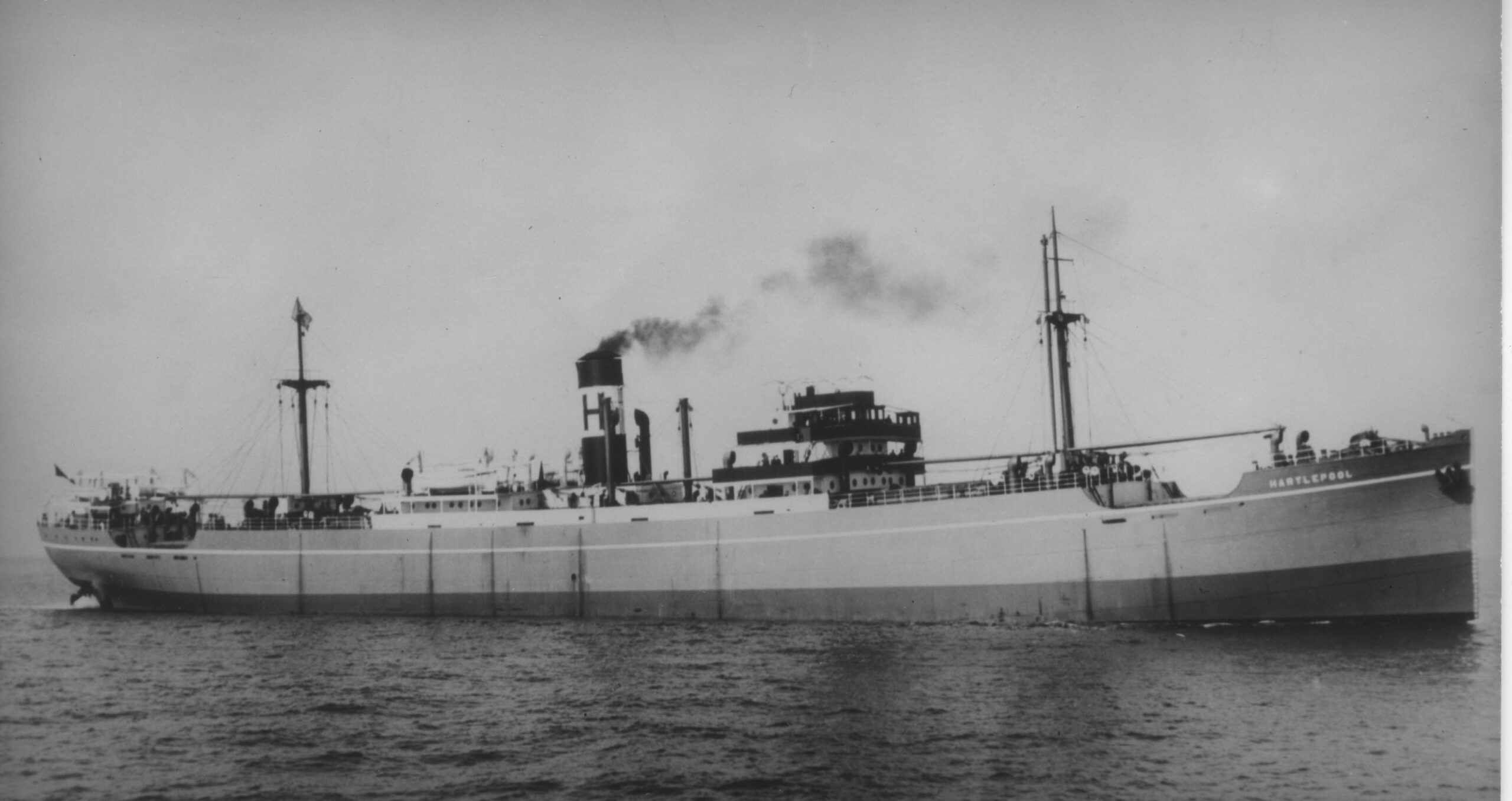
Hartlepool, a 5,500 ton Merchant Steamship [12M] – (Dive Dorset: 136 p109: GPS: 50 36.49N, 02 25.47W) – Victim of a daring torpedo attack from a German E-Boat. There is a second area of wreckage at 50 36.43N; 02 25.85W. The wreckage on both sites is very scattered due to dispersal by explosives. (Also LARN) – About 0.5 miles from Weymouth Harbour. Refs. Lloyd’s Register: 1938-9(H) & British Vessels Lost at Sea: WW2, p65. Portland Museum No. 18.
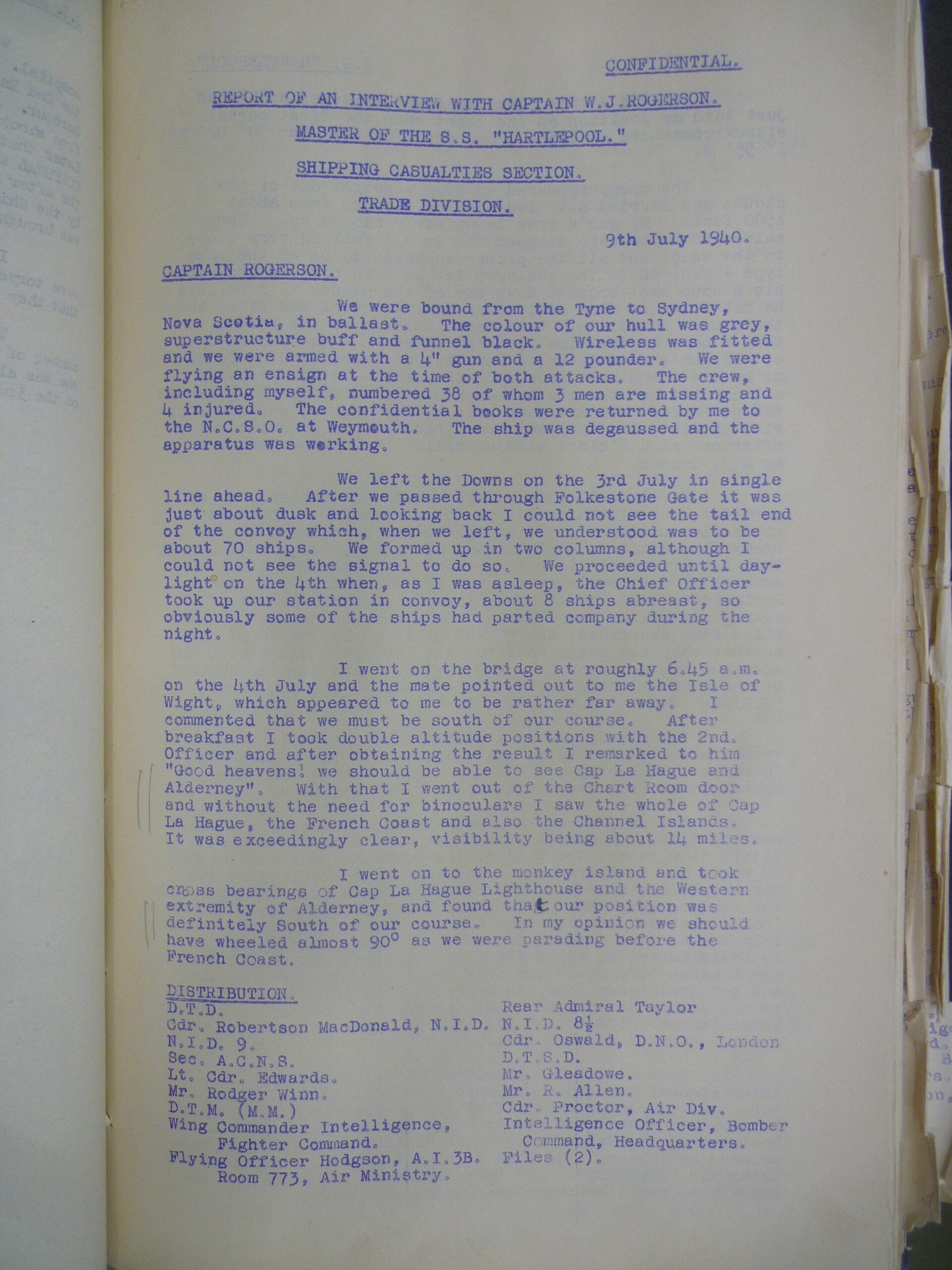
REPORT OF AN INTERVIEW WITH CAPTAIN W.J. ROGERSUN
MASTER OF THE S.S. “HARTLEPOQL”.
SHIPPING CASUALTTIES SECTION.
TRADE DIVISION.
We were bound from the Tyne to Sydney, Nova Scotia in ballast. The colour of our hull was grey, superstructure buff and funnel black. Wireless was fitted and we were armed with a 4″ gun and a 12 pounder. We were flying an ensign at the time of both attacks. The crew, including myself, numbered 38 of whom 3 men are missing and injured. The confidential books were returned by me to the N.C.S.O. at Weymouth. The ship was degaussed and the apparatus was working.
We left the Downs on the 3rd July in single line ahead. After we passed through Folkestone Gate it was just about dusk and looking back I could not see the tail end of the convoy which, when we left, we understo0d was to be about 70 ships. We formed up in two columns, although I could not see the signal to do so. We proceeded until daylight on the 4th when, as I was asleep, the Chief Officer took up our station in convoy, about 8 ships abreast, s0 obviously some of the ships had parted company during the night.
I went on the bridge at roughly 5 a.m. 0n the 4th July and the mate pointed out to me the Isle of Wight, which appeared to me to be rather far away. I commented that we must be south of our course. After breakfast I took double altitude positions with the 2nd. Officer and after obtaining the result I remarked to him “Good heavens we sh0uld be able to see Cap La Hague and Alderney” With that I went out of the Chart Room door and without the need for binoculars I saw the whole of Cap La Hague, the French Coast and also the Channel Islands. It was exceedingly clear, visibility being about 4 miles.
I went on to the monkey island and took cross bearings of Cap La Hague Lighthouse and the Western extremity of Alderney, and found that our position was definitely South of our course. In my opinion we should have wheeled almost 90 as we were parading before the French Coast.
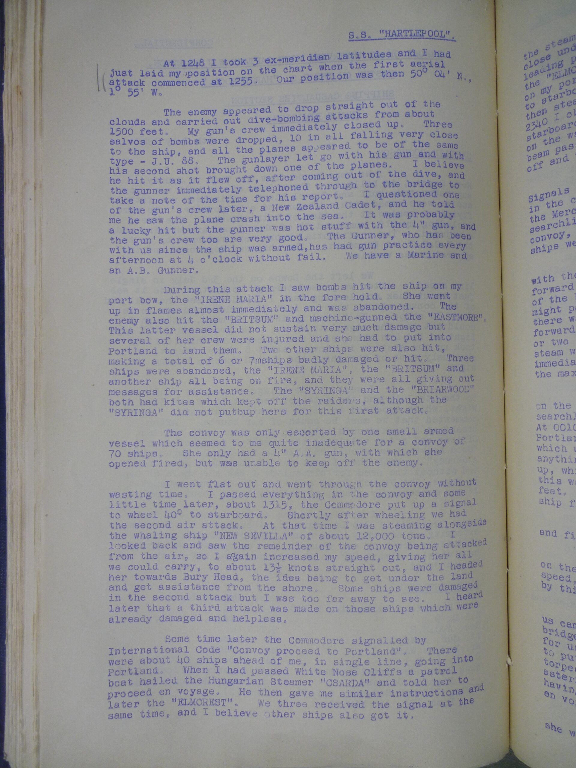
At 1248 I took 3 ex-meridian latitudes and I had just laid my position on the chart when the first aerial attack commenced at 1255. Our position was then 50 04′ N., 1 55′ W.
The enemy appeared to drop straight out of the clouds and carried out dive-bombing attacks from about 1500 feet. My gun’s crew immediately closed up. Three salvos of bombs were dropped, 10 in all falling very close to the ship, and all the planes appeared to be of the same type – J.U. 88. The gunlayer let g0 with his gun and with his second shot brought down one of the planes. I believe he hit it as it flew off, after coming out of the dive, and the gunner immediately telephoned through to the bridge to make a note of the time for his report. I questioned one of the gun’s crew later, a New Zealand Cadet, and he told me he saw the plane crash into the sea. It was probably a lucky hit but the gunner was hot stuff with the 4″ gun, and the gun’s crew too are very good. The Gunner, who has been with us since the ship was armed, has had gun practice every afternoon at 4 o’clock without fail. We have a Marine and an A.B. Gunner.
During this attack I saw bombs hit the ship on my port bow, the “IRENE MARIA” in the fore hold. She went up in flames almost immediately and was abandoned. The enemy also hit the “BRITSUM” and machine-gunned the “EASTMORE”. This latter vessel did not sustain very much damage but several of her crew were injured and she had to put into Portland to land them. Two other ships were also hit, making a total of 6 0r 7 ships badly damaged or hit. Three ships were abandoned, the “IRENE MARIA” the “BRITSUM” and another ship all being on fire, and they were all giving out messages for assistance. The “SYRINGA” and the “BRIARWOOD” both had kites which kept off the raiders, although the “SYRINGA” did not put up hers for this first attack.
The convoy was only escorted by one small armed vessel which seemed to me quite inadequate for a convoy 0f 70 ships. She only had a 4″ A.A. gun, with which she opened fired, but was unable to keep off the enemy.
I went flat out and went through the convoy without wasting time. I passed everything 1n the convoy and some little time later, about 1315, the Commodore put up a signal to wheel 40 to starboard. 8hortly after wheeling we had the second air attack. At that time I was steaming alongside the whaling ship “NEW SEVILLA” of about 12,000 tons. I l0oked back and saw the remainder of the convoy being attacked from the air, so I again increased my speed, giving her all we could carry, to about 13.5 knots straight out, and I headed her towards Bury Head, the idea being to get under the land and get some assistance from the shore. Some ships were damaged in the second attack but I was too far away to see. I heard later that a third attack was made on those ships which were already damaged and helpless.
Some time later the Commodore signalled by International Code “Convoy proceed to Portland”. There were about 40 ships ahead of me, in single line, going into Portland. When I had passed White Nose Cliffs a patrol boat hailed the Hungarian Steamer “CSARDA” and told her to and proceed en voyage then gave me similar instructions and later the “ELMCREST”. We three received the signal at the same time, and I believe other ships also got it.
I therefore turned, and in endeavouring to clear the steamer “CSARDA” the “ELMCREST” fouled me and passed close under my starboard bow, thus bringing her into the leading position. After we had cleared Andle Point, with the “ELMCREST” on my port bow. and the “BRITISH CORPORAL” on my port quarter, it was dusk. I hauled round 2 points to starboard and the “ELMCREST” made a similar move. then steamed well clear of the bay and at approximately 2340 I observed a searchlight beam 2 points forward 0f my starboard beam, very bright and giving only a half ray low on the water, evidently from the shore. The searchlight beam passed through an arc of approximately 40, then shut off and was seen no more, having lasted about 10-15 seconds.
The Commodore had used the International Code of Signals which could have been read by anyone. Every ship in the convoy had Consigs, so that I think either this, or the Merchant Navy Code, should have been used. The searchlight beam had silhouetted the leading ships of the convoy, and it is interesting to note that all 3 of these ships were the ones to be torpedoed.
A 2350 the track of a torpedo, somewhere in line with the searchlight we had seen, passed from 2 points forward of my starboard beam, underneath the ship abreast of the bridge and then underneath the “ELMCREST”. It might possibly have hit the “ELMCREST”, but in any case there was no explosion. Our draught at the time was 11’6″ forward, 12ft. under the bridge, and 16’6″ aft. A minute or two afterwards the “ELMCREST” blew a quiet “D” on her steam whistle. This I took to be a sanger signal and immediately hauled out to starboard, increased my speed to the maximum and commenced zig-zagging 2 and 3 points.
At 2354 the “ELMCREST” was torpedoed amidships, on the port side, which was her opposite side from the searchlight. At midnight the BRITISH CORPORAL was torpedoed. At 0010 on the 5th when in position 16′ S by W from Portland Bill, we were torpedoed aft, right at the propeller, which was blown off. I saw no smoke, neither did I smell anything, but there was fire aft and the cordite locker blew up, which probably set off the magazine at the same time as this was aft. I myself was shaken but not lifted off my feet. The forepeak tank was full and I think this saved the ship from turning over.
At 0015 the “BRITISH CORPORAL” was again torpedoed and five minutes later I heard a fifth explosion.
I had heard no sound of any engines, but the concrete on the bridge rattled incessantly when we were going full speed, so the sound of engines would have been drowned by this noise.
I do not know in what direction that hit us came from, but I was standing on the port side of the bridge with the 2nd Officer when he sang out “Here is one for us”. As he said it I turned to ring the telegraph to put the ship hard starboard and did not actually see the torpedo track. I think it must have come from almost astern. The Escort was no longer with us at this time, having gone to harbour after giving us orders to proceed en voyage.
I saw the flash from the explosion in the “ELMCREST”, she was silhouetted in it, also the smoke, but I did not see
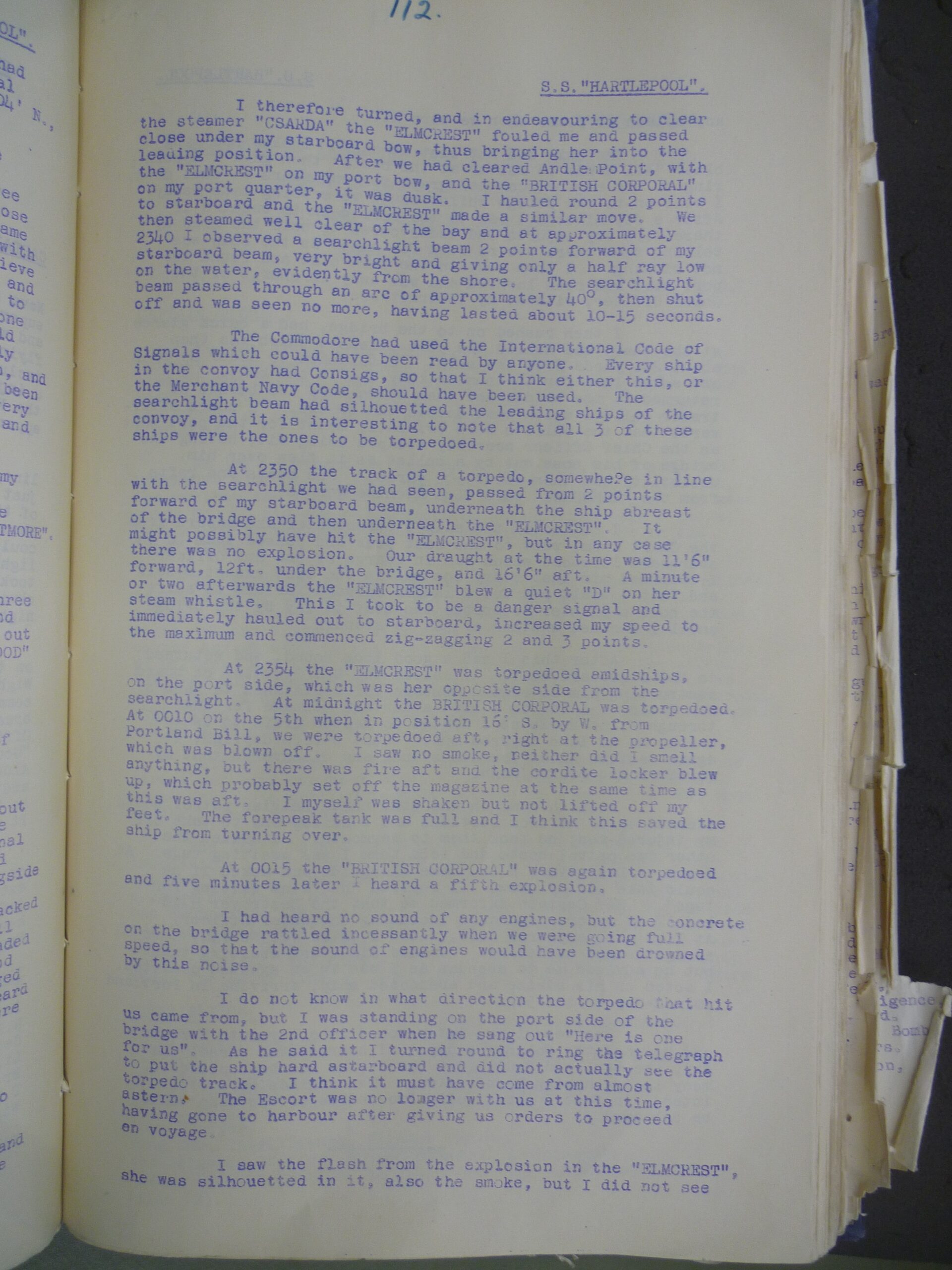
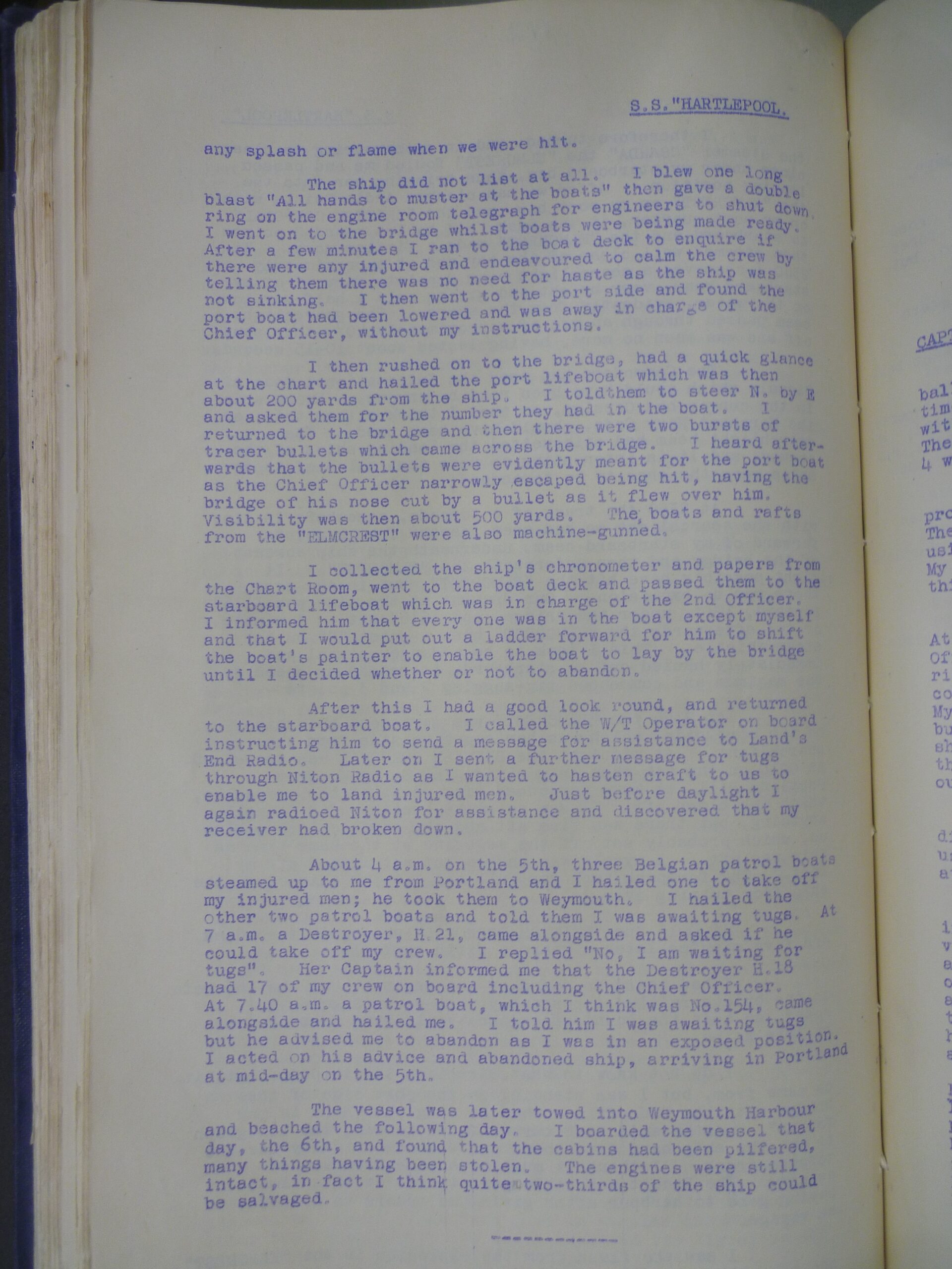
any splash or flame when we were hit.
The ship did not list at all. I blew one long blast “All hands to muster at the boats” then gave a double ring on the engine room telegraph for engineers to shut down. I went on to the bridge whilst boats were being made ready. After a few minutes I ran to the boat deck to enquire if there were any injured and endeavoured to calm the crew by telling them there was no need for haste as the ship was not sinking. I then went to the port side and found the port boat had been lowered and was away in charge of the Chief Officer, without my instructions.
I then rushed on to the bridge, had a quick glance at the chart and hailed the ort lifeboat which was then about 200 yards from the ship. I told them to steer N. by E and asked them for the number they had in the boat. I returned to the bridge and then there were two bursts of tracer bullets which came across the bridge. I heard afterwards that the bullets were evidently meant for the port boat as the Chief Officer narrowly escaped being hit, having the bridge of his nose cut by a bullet as it flew over him. Visibility was then about 500 yards. The boats and rafts from the “ELMCREST” were also machine-gunned.
I collected the ship’s chronometer and papers from the Chart Room, went t0 the boat deck and passed them to the starboard lifeboat which was in charge of the 2nd Officer. I informed him that every one was in the boat except myself and that I would put out a ladder forward for him to shift the boat’s painter to enable the boat to lay by the bridge until I decided whether or not to abandon.
After this I had a good look round, and returned to the starboard boat. I called the W/T operator on board instructing him to send a message for assistance to Land’s End Radio. Later on I sent a further message for tugs through Niton Radio as I wanted to hasten craft to us to enable me to land injured men. Just before daylight I again radioed Niton for assistance and discovered that my receiver had broken down.
About 4 a.m. On the 5th, three Belgian patrol boats steamed up to me from Portland and I hailed one to take off my injured men; he took them to Weymouth. I hailed the other two patrol boats and told t hem I was awaiting tugs. 7 a.m. a Destroyer, H. 21, came alongside and asked if he could take off my crew. I replied “No, I am waiting for tugs”. Her Captain informed me that the Destroyer H. 18 had 17 of my crew on board including the Chief Officer. At 7.4O a.m. a patrol b0at, which I think was No. 154 came alongside and hailed me. I told him I was awaiting tugs but he advised me to abandon as I was in an exposed position. I acted on his advice and abandoned ship, arriving in Portland at mid-day on the 5th.
The vessel was later towed into Weymouth Harbour and beached the following day. I boarded the vessel that day, the 6th, and found that the cabins had been pilfered, many things having been stolen. The engines were still intact, in fact I think two-thirds of the ship could be salvaged.
Day of Loss: 5
Month of Loss: 7
Year of Loss: 1940
Longitude: 50 36.49
Latitude: 02 25.47
Approximate Depth: 12
