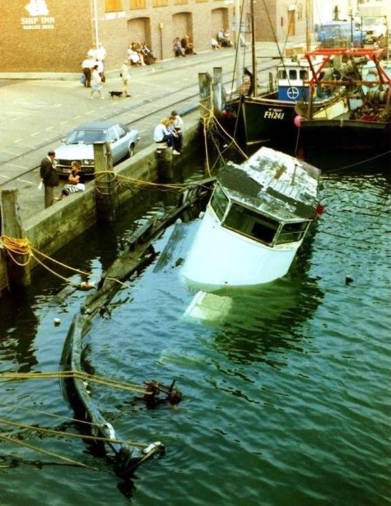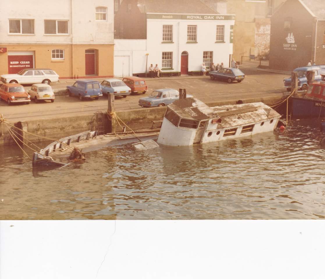

Saratoga sunk at her mooring in Weymouth, raised and sank under tow.
EX-ADMIRALTY MFV 41. BUILT OF WOOD IN 1943. OIL ENGINE SINGLE SHAFT. SANK WHILE UNDER TOW FROM WEYMOUTH TO POOLE. LATER SNAGGED BY FV WHICH PULLED THE WHEELHOUSE FREE.
Fishing Vessel [27M] – (Clarke: GPS; 50 36.02N; 02 21.20W) (See also LARN, ex Admiralty MFV No. 41 sank while under tow) Ref. MOD(N) Hyd. Wk. No. 013402997.
Day of Loss: 20
Month of Loss: 10
Year of Loss: 1981
Longitude: 50 36.02
Latitude: 02 21.20
Approximate Depth: 27
