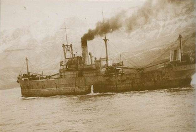
Steamship [42M] – (Clarke: GPS; 50 27.27N; 02 00.20W) – Sank after collision with HMS CENTURION. NIL.
Day of Loss: 0
Month of Loss: 0
Year of Loss: 1912
Longitude: 50 27.27
Latitude: 02 00.20
Approximate Depth: 42

Steamship [42M] – (Clarke: GPS; 50 27.27N; 02 00.20W) – Sank after collision with HMS CENTURION. NIL.
Day of Loss: 0
Month of Loss: 0
Year of Loss: 1912
Longitude: 50 27.27
Latitude: 02 00.20
Approximate Depth: 42